


40
Cutting-edge drone tech maps land and water with laser accuracy
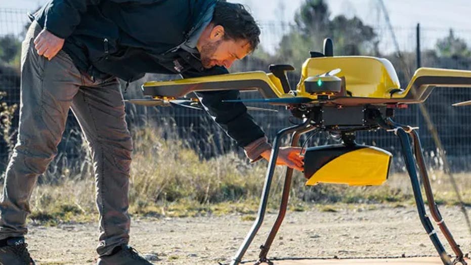
YellowScan’s Navigator system is designed to map underwater topography in rivers, ponds and coastal areas.
Discover more from Now World View
Subscribe to get the latest posts sent to your email.
