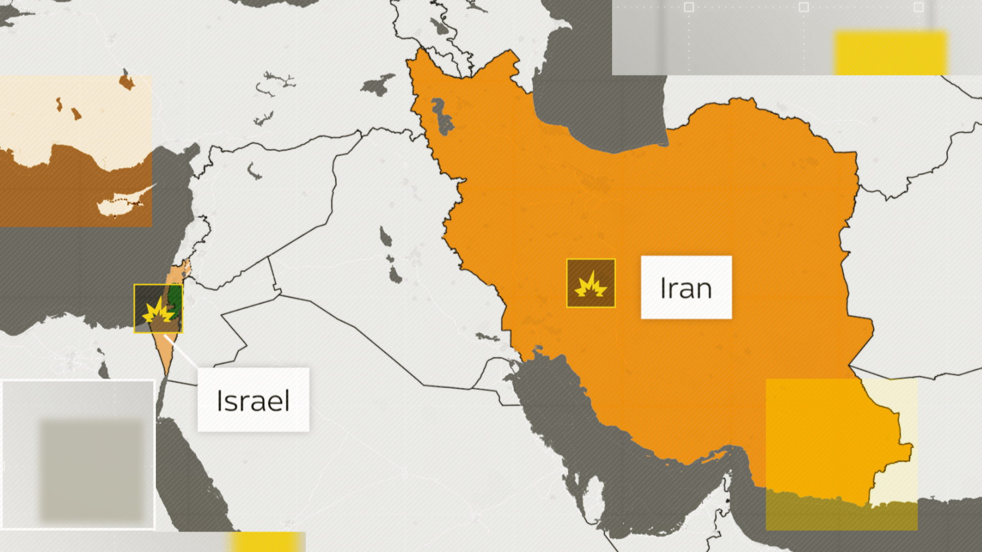
Israel-Iran conflict: Maps tracking the strikes in each country
The Sky News Data and Forensics team has been tracking the development and impact of the strikes exchanged by Israel and Iran since 13 June before they agreed to a ceasefire.
Image:
A GBU-57 or Massive Ordnance Penetrator bomb. File pic: US Air Force/AP
Image:
Satellite imagery of Fordow after the US bombing. Credit: Maxar
Support the Now World View Media Group Buy Donating on the button below.
Stay ahead of the curve with our up-to-the-minute news coverage. We deliver breaking news alerts, in-depth features, and engaging multimedia content to keep you informed and connected to the world around you.


